
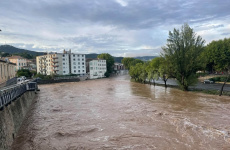

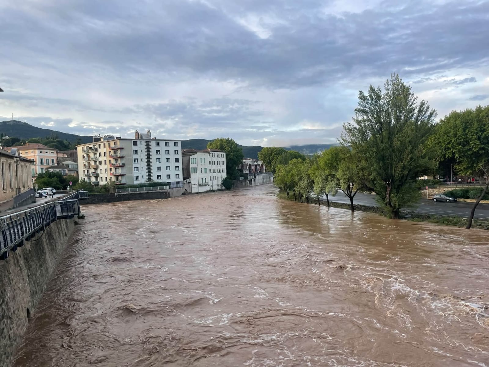

Outside the window in Bédarieux, there is currently an unusual, almost sticky warmth, but the dry summer heat has given way to an endless wall of autumn rain. Right before our eyes, Occitanie’s small rivers turn in just a few days into raging torrents bursting their banks. These are not merely weather whims—this is a live broadcast of how the climate crisis is altering the usual rhythm of the South of France right now.
Waking up in the morning after a heavy autumn downpour, we check the internet. And what do we see? The Facebook pages of the Ville de Bédarieux and "Météo Méditerranée 34" are filled with unbelievable photos and videos showing the uncontrollable elements "overflowing their banks." These images are simultaneously frightening and mesmerizing. In moments like these, you realize how helpless human beings are against nature's forces. Or perhaps what we see today outside our windows and on our TV screens is the irreversible consequence of human activity, which is easier to prevent than to fight its future manifestations?
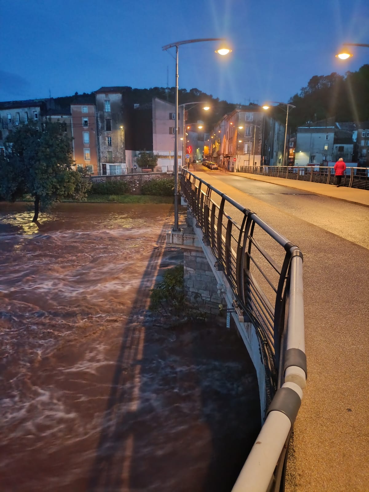
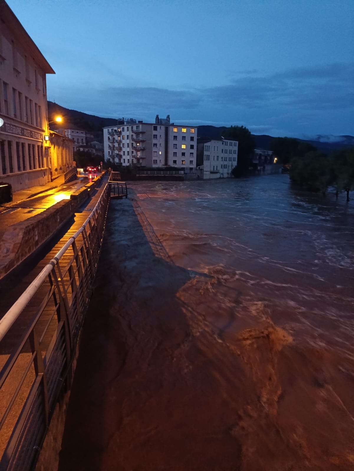
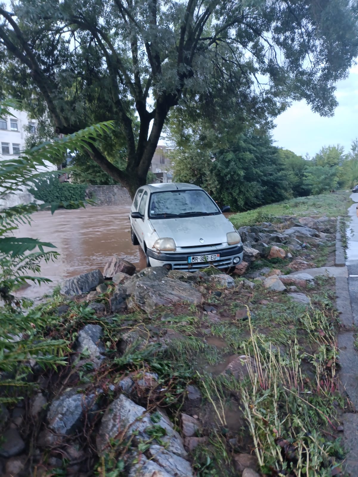
Autumn in Occitanie is looking less and less like an Indian summer and more and more like a tropical storm. Just a few months ago, our region was literally burning under a 40-degree sun, while today’s reality brings river floods and extreme rainfall. French meteorologists call this an épisode méditerranéen, but for us local residents, it is becoming the new reality of global climate change.
Due to its geographical location, the Occitanie region sits in a zone of heightened climate vulnerability. The latest official Météo-France reports highlight the following key trends:
- Accelerated warming: average temperature growth in Occitanie is outpacing global averages. While the anomaly for 2016–2025 had already reached +1.4 °C, an increase of +2.2 °C is expected by 2050, and +3.5 °C by 2100 (compared to the baseline period of 1976–2005). Summers will become warmer by an average of 3.9–4.8 °C.
- Heat records: September 2026 went down in the region’s history as a month of "extreme heat and historic drought." All-time record highs were broken at stations operating for over 70 years: +39.4 °C was recorded in Perpignan, +39.2 °C in Albi, and +37.9 °C in Toulouse.
- Intensification of "Mediterranean episodes" (épisodes méditerranéens): Occitanie regularly suffers from devastating autumn torrential rains. Sea warming amplifies evaporation, causing rainfall dumped in just a few hours to trigger large-scale flooding (the situation in Languedoc in the autumn of 2026 clearly confirms this).
Across mainland France, average annual temperatures by 2050 will rise by more than 2.0 °C compared to the current climate under TRACC projections, with warming being more pronounced in summer than in winter.
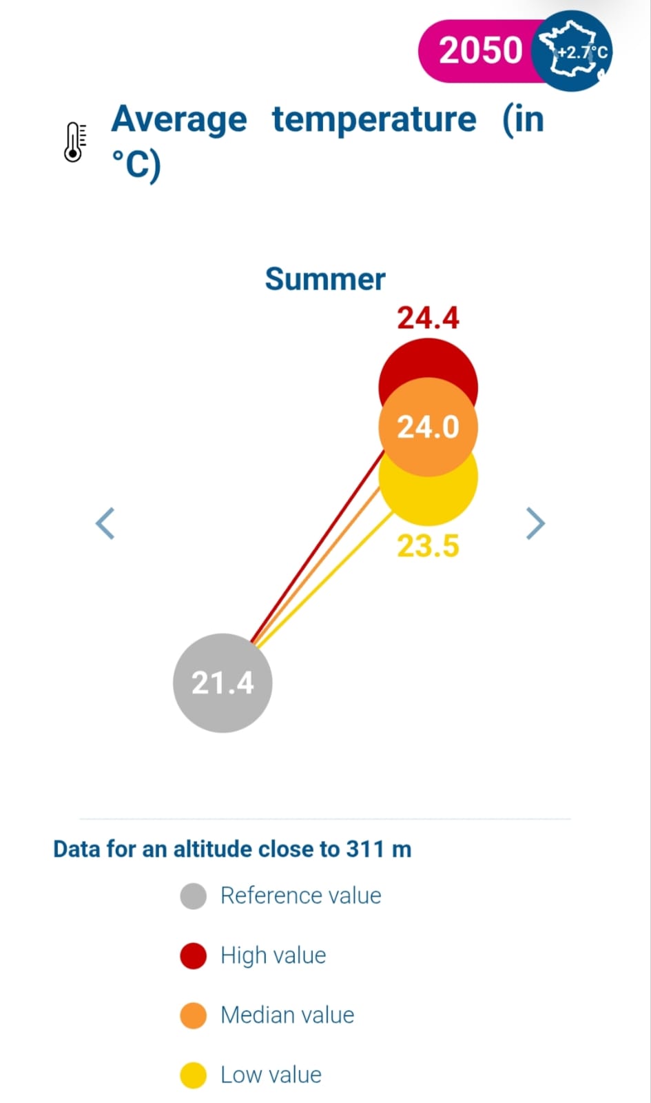
As for the municipality of Bédarieux, the diagram below illustrates the seasonal dynamics of average temperature changes between current climate conditions and those projected under TRACC for 2050.
If you want to see what a European "climate hot spot" looks like, just come visit us. Here in the South of France, climate shift is felt not through dry UN report charts, but through thermometers and flooded roads: summer brings increasingly severe droughts, and autumn brings flash floods. To be continued...







Залишити коментар